
Microsoft replaced fdisk with diskpart.exe in Windows 2000. I can’t imagine how bad the former must have been to warrant that switch. (Or was it super-early enshittification?)
- 26 Posts
- 2.11K Comments
Joined 10 months ago
Cake day: June 23rd, 2024
You are not logged in. If you use a Fediverse account that is able to follow users, you can follow this user.

 1·2 days ago
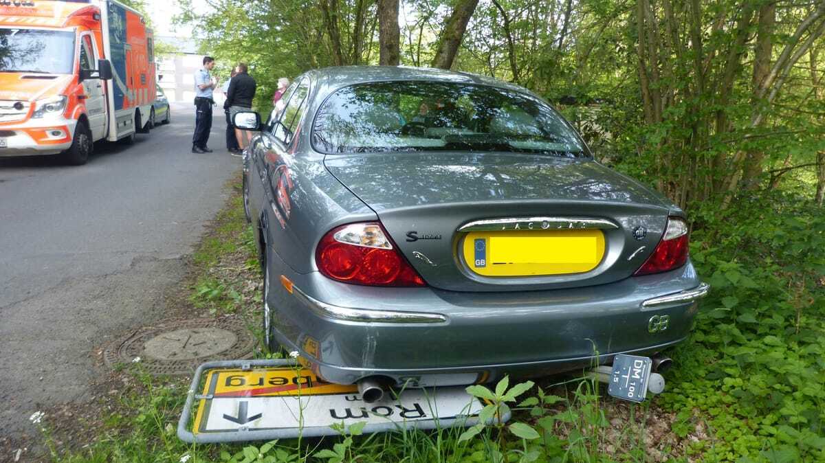
Sounds stupid but I’ve seen trams whose computer interface is a Java app on Linux booting from an 8GB M-SATA drive with cameras recording to a 16GB USB thumb drive. It’s mounted in a bracket that prevents disconnects due to vibrations but the electrical connection is indeed regular USB.
 2·2 days ago
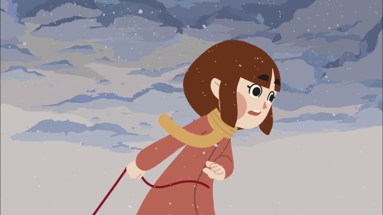
I didn’t like the last one. Sure, corpos would love to create a society akin to the one described but the way the story is framed, it’s as if driving one’s own car is the main tenet of freedom.
16 days, another repost -_-
Yes, it’s very funny but we’re not that desperate for posts.

 3·3 days ago
I was making a Who Framed Roger Rabbit? joke.
How is this not framed?
Yup. BiH’s coast is in a tiny gulf that Croatia has bridged. They could easily turn it into a lake if they really wanted.

 4·4 days ago
It’s a Persona 5 menu background
 5·3 days ago
Is the president the one in the middle? How is he not the oldest one around?
Edit: the president apparently has power to abolish the Electoral College. So I guess not even attempting to be realistic - at least a non-white-haired president has precedent.
 9·5 days ago
Try integrating with OpenStreetMap Traces and Tapiriik for ease-of-use. Recommend running your own instance for the latter. Not necessarily for the minimum viable product but consider this into the future.
Good bike computers like Garmin’s allow GPX export so HW compatibility is there. It’s a few manual steps but you can make the process automatic for example by syncing your HW tracker to Tapiriik (15+ brands supported), which then can auto-download GPX files to your computer via Dropbox (or without Dropbox if you run it locally), and then you can auto-upload those to OSM with one of these scripts running on your machine.
The map is a community effort and the lack of social features, which caters to introverts, keeps focus on the end goal - an accurate map of the world. Other platforms are suitable for social activities and you can link to your OSM trace from there.
Yes, seeing the trace geometry only with no map is a letdown. That’s why I suggested the visualizer in another comment. It would certainly improve the shareability of traces.
OSM doesn’t produce any hardware. They are a wiki-based world mapping effort. In addition, they run a PNG tile provider (so you can embed their map on a website), an article wiki for how to edit the map etc. and the trace repository.
You can use OSM and record traces using various apps mentioned on their wiki.
Come to think of it, OSM traces include timestamps and elevation for each recorded point, plus maybe other data from the uploaded GPX file. Maybe someone will create a Strava-style visualizer that serves HTML, SVGs or PNGs from trace IDs with a map, speed and elevation profile for easy sharing. Imagine your trace is
https://www.openstreetmap.org/user/hagu/traces/11959920and you changeopenstreetmap.orgwith perhapsopenstreetmap-traceview.organd get a nice sharable overview that also has a PNG for preview on socials. Maybe even a page with a list of activities by user including kilometer stats by month, mode of transport etc.
That’s the neat part, there isn’t. Post about your trips where you want, you can then refer to the OSM trace.
People have given consent for you to improve OSM with that data though. For example, one GPS trace can be pretty inaccurate (especially under a canopy where aerial imagery also doesn’t work) but you can compile a dozen (get them with a location-specific query) and get a very good average. You can message people about those edits, and add notes.
Also, StreetComplete gives you achievements for completing quests and uploading traces. They are automated but it makes it look like actual people are grateful. Of course most people who use OSM will never actually thank the contributors but you’re still doing a great service by improving the map around you.
There is a great community effort at https://www.openstreetmap.org/traces
You can directly upload there with StreetComplete or Vespucci. Or exports from any tracking app that gives you a GPX file (including Strava I think). Otherwise, don’t really expect FOSS-minded people to share their trips.
 2·5 days ago
Well, the following PM Petr Fiala, much like Biden, inherited a COVID-wrecked economy and did a great recovery. Still, the recession became associated with him and we are still expecting ANO to be the strongest party and Fiala’s fragile multicolor coalition may break apart… He is both pro-Ukraine and pro-Israel - the former is in agreement to the general population, while people are mostly indifferent for the latter (all Czech administrations have been quite pro-Israel though, supporting trade and speaking for it internationally). Babiš voters are not entirely pro-Russia (that would be half-Japanese Tomio Okamura’s nationalistic SPD party - no relation to the German SPD) but they are condemning Fiala’s unwavering support while Trump “did the bold move and asked for minerals in an art of the deal”. Babiš is really like Trump but more competent - he bought media empires and doesn’t change his plans on a whim. Still, his views are idiotic: he proposed to end licence-based funding for our public TV “because many TV owners may prefer other channels and this is taxing them too”, suggesting it could be funded from the country’s budget (which would make non-TV-owners pay too). It’s stupid but it’s a calculated move: his voter base watches TV but mostly non-public.
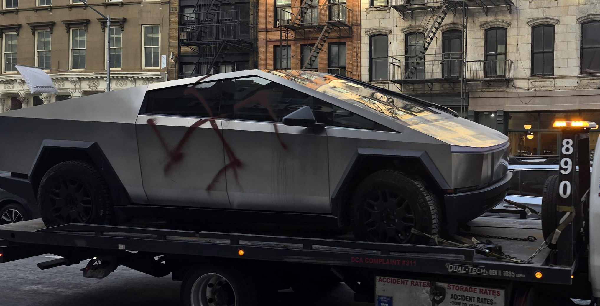
I think this is going to hurt the White House in the long run. By smearing these people individually, they are highlighting the fact that they are actual humans with life stories, rather than a swarm invading the country.
Imgur stands for image URL: they would let you upload images and provide you with a direct URL. The enshittification with all that JS and push for on-site social networking came after New Reddit and i.redd.it.


Sure but there is a huge step between not being able to drive the way one wants and where one wants. The cost is also vastly different: human drivers in cars are inherently dangerous and kill 40k people every year in the US. Of course this can be reduced with current technology by incentivizing alternatives to driving.